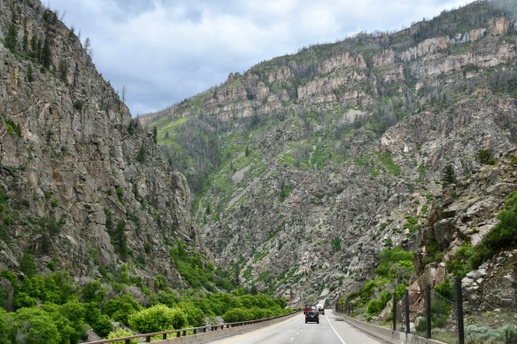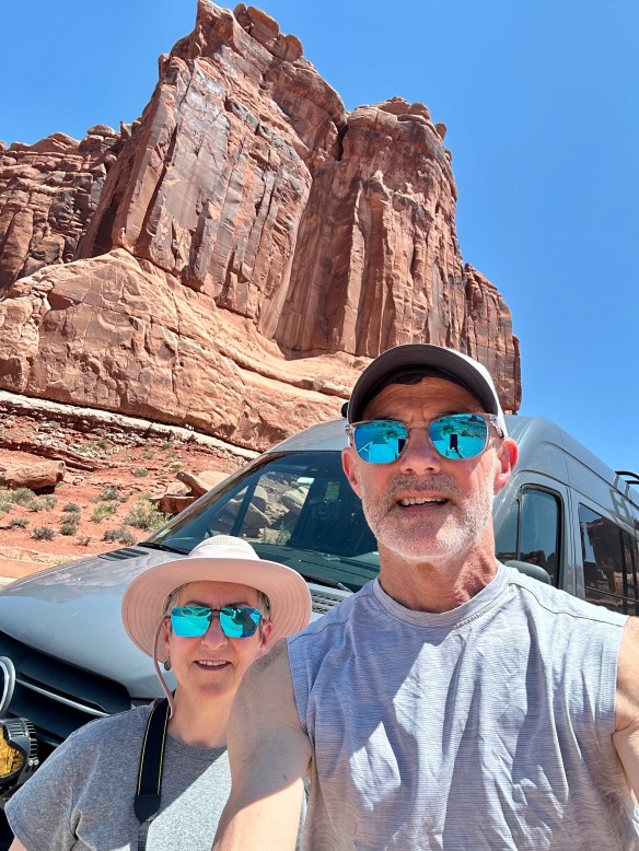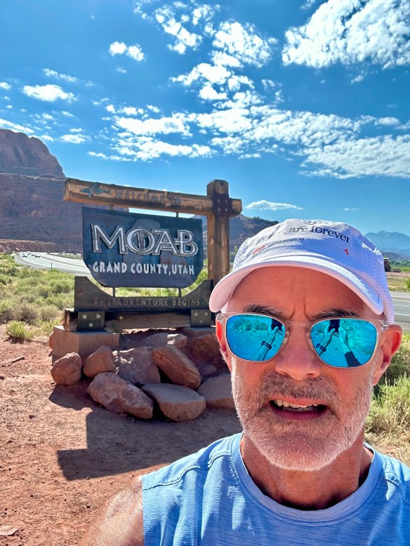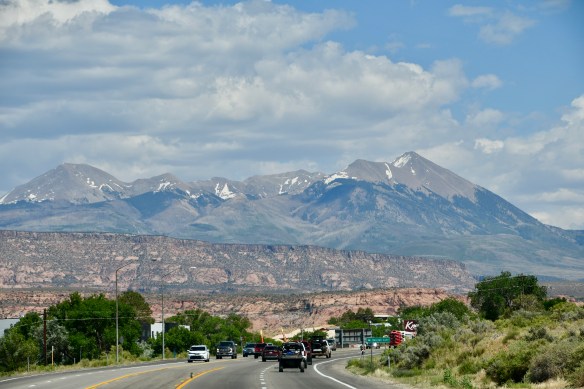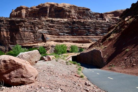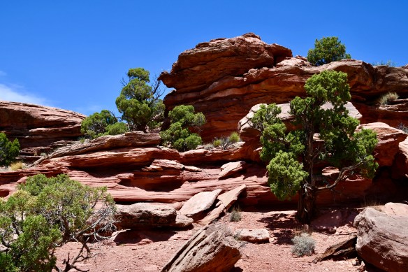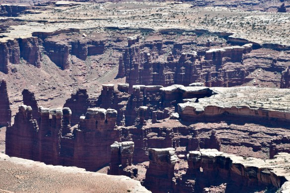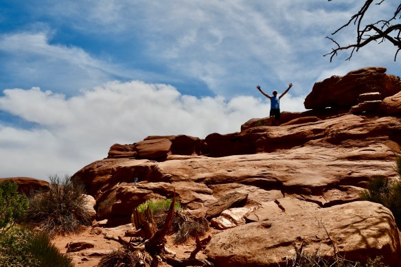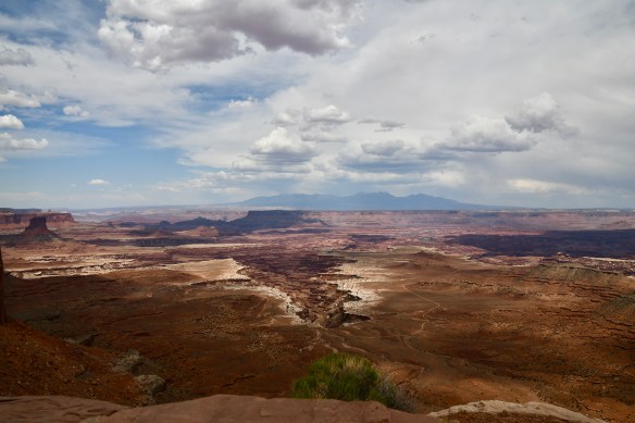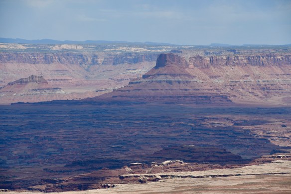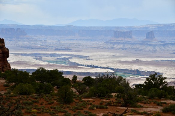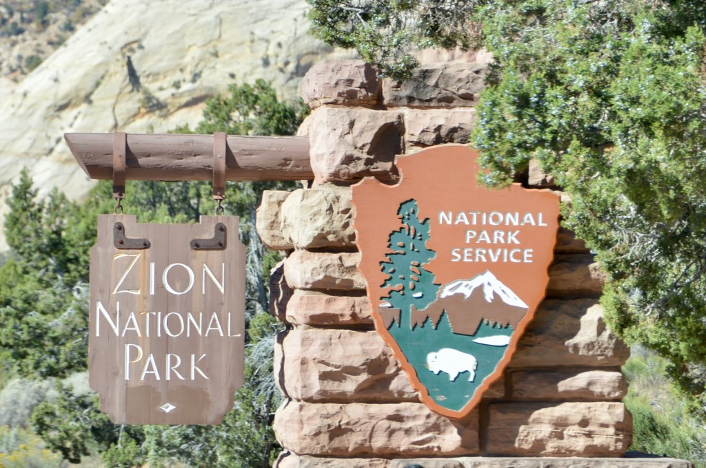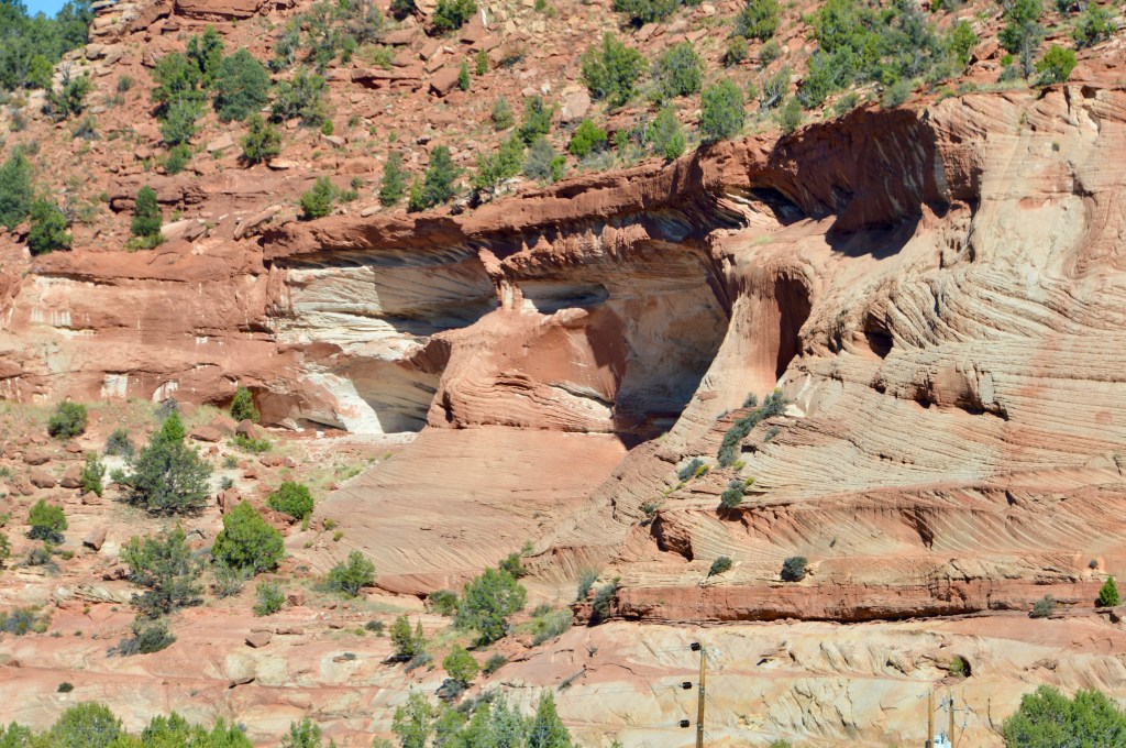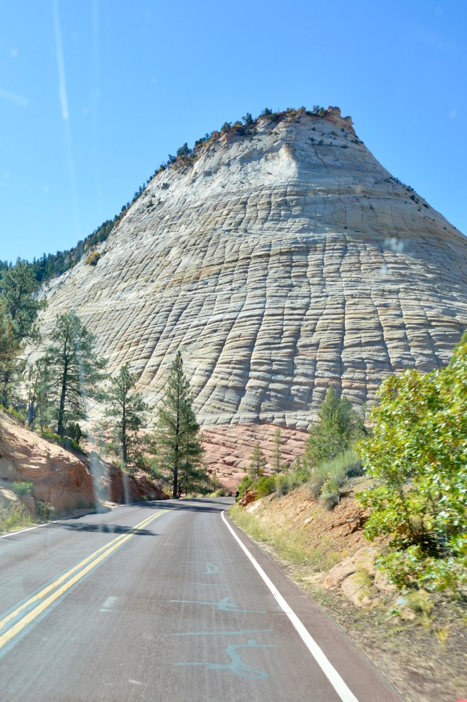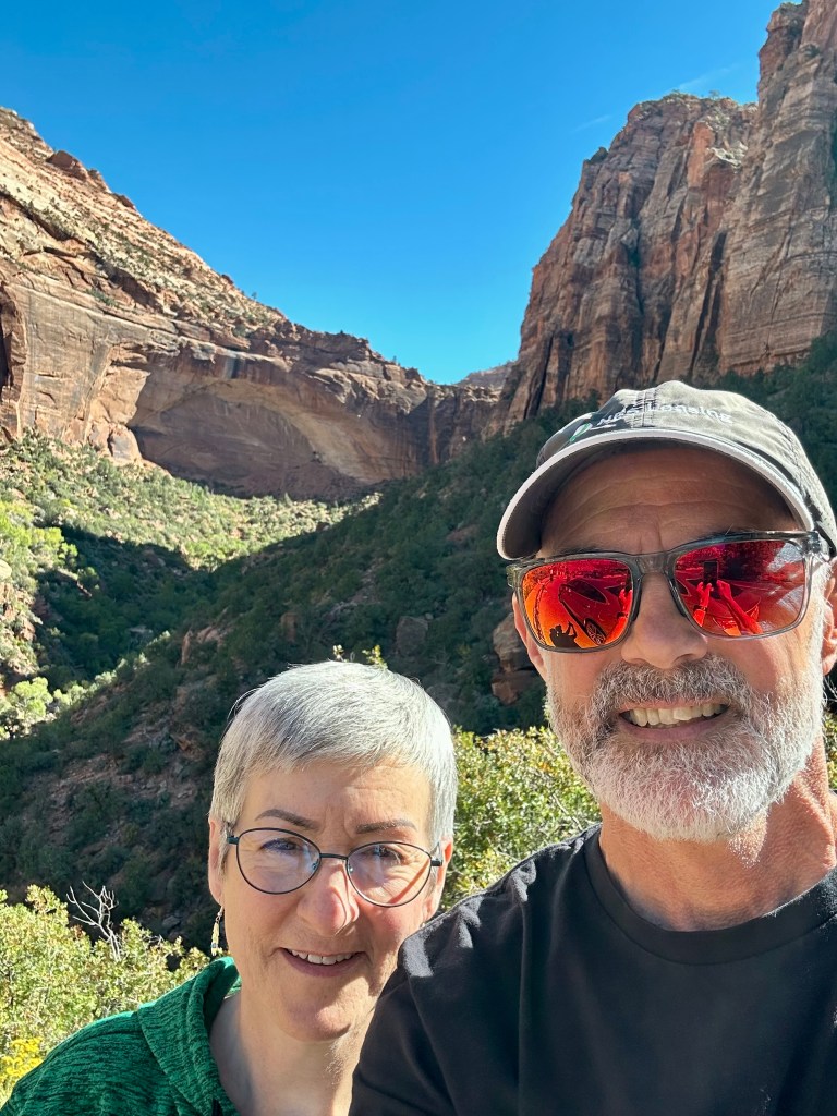
We arrived in Salt Lake City on a Monday. Both rain and sunshine accompanied us on the drive from Moab to Salt Lake. If you want to read about our adventures in Moab, check out Moving On to Moab.
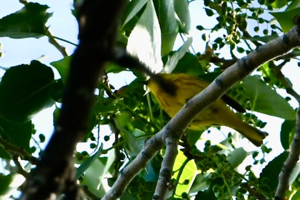
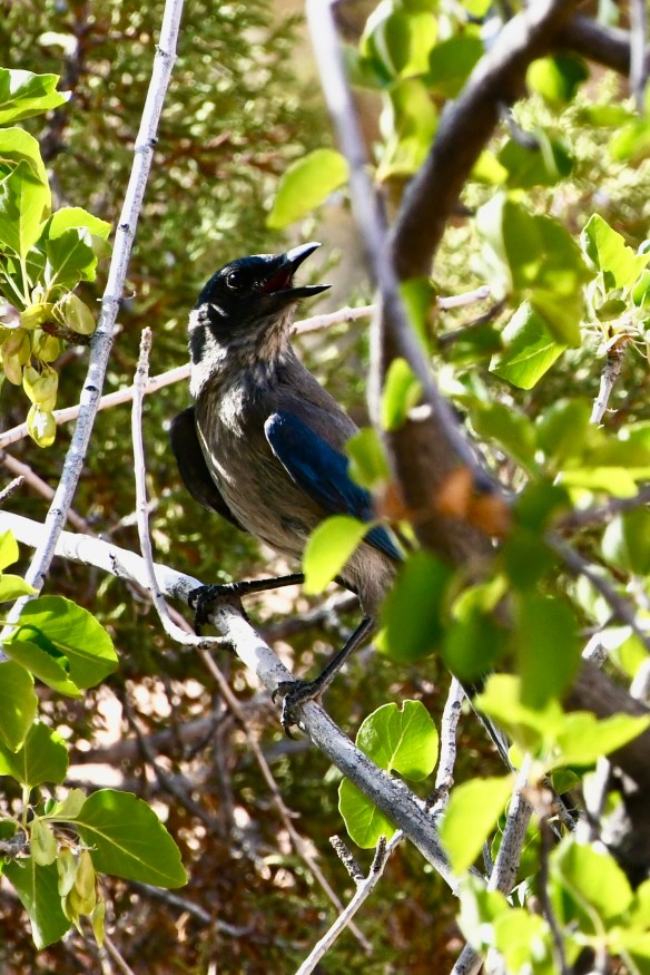
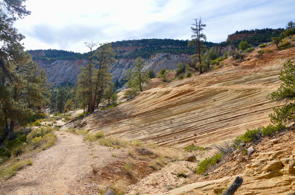
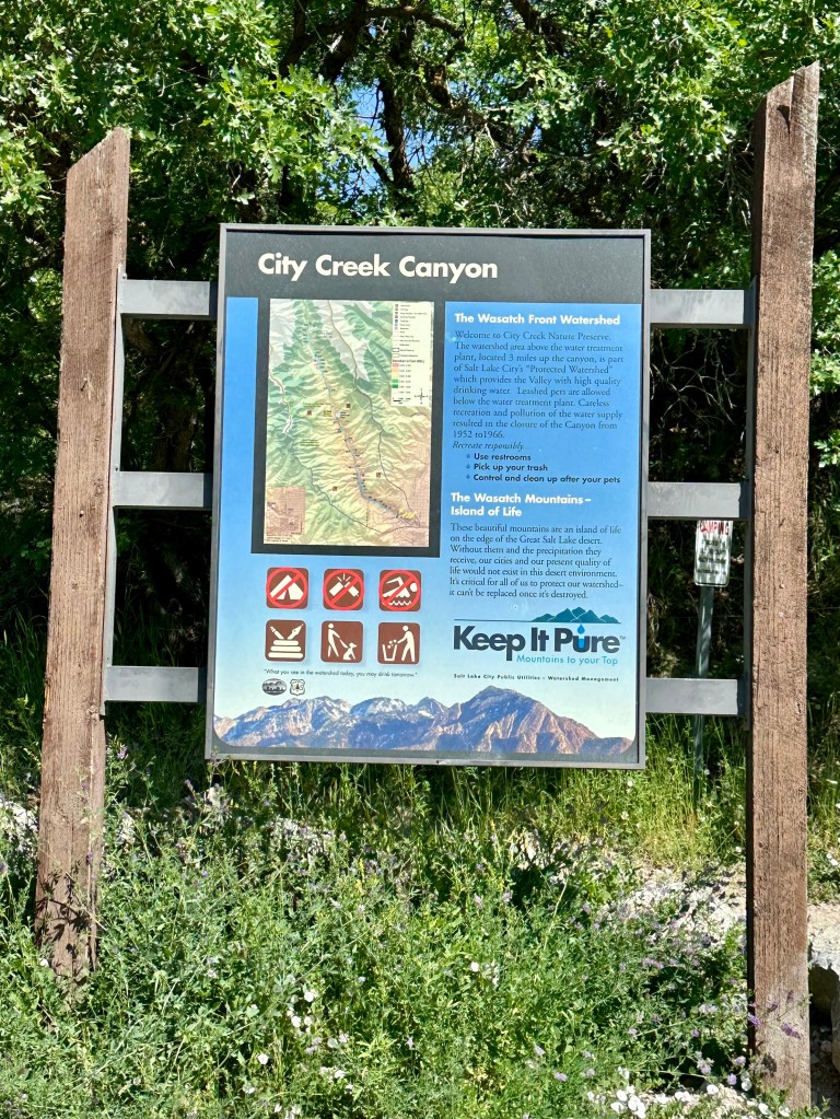
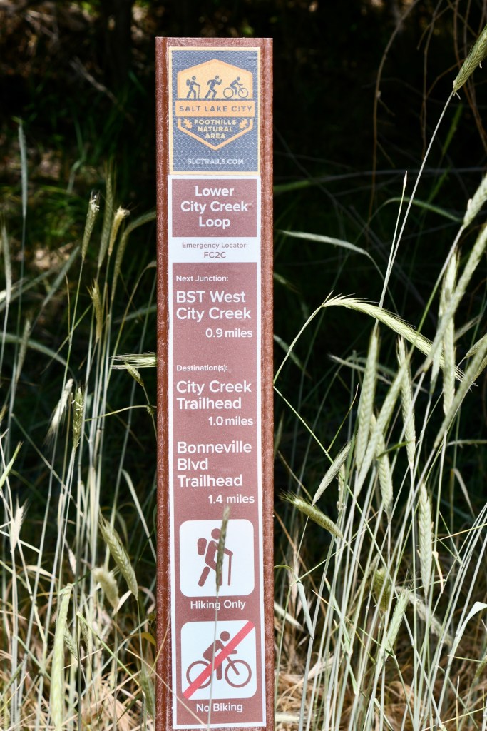
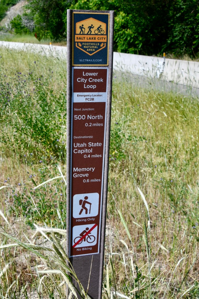
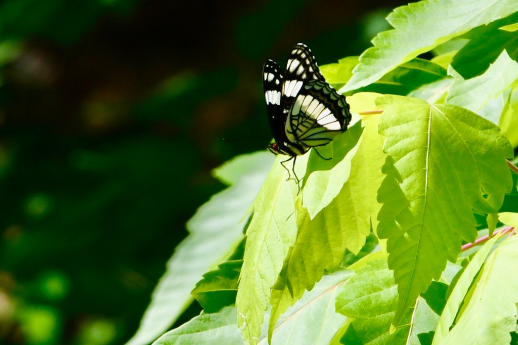
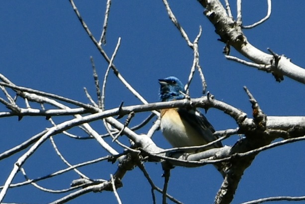
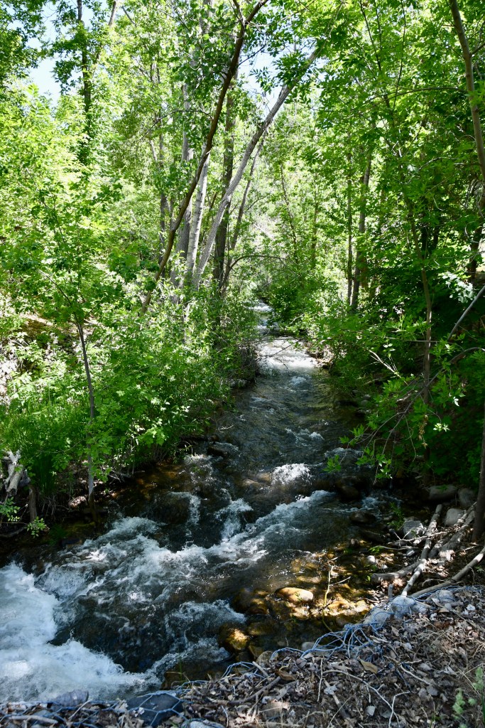
The first stop in Salt Lake City was City Creek Canyon and Nature Preserve for a morning walk/run and a little birding. We found the trail and parked right next to the capitol building. Actually, we parked first and then found the trail. A new bird sighting for me there: a Blue Lazuli chirping away, high in a tree.


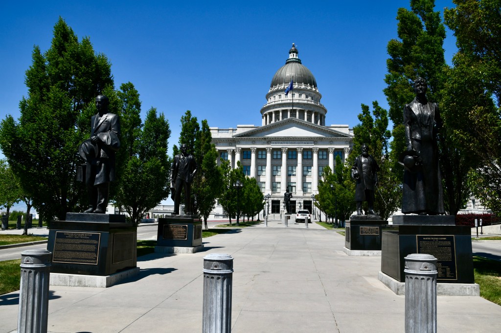


Did you notice the statue of Massasoit at the capitol? Apparently the one that stands in Plymouth, Massachusetts, is the original, but a copy was made to stand in Salt Lake in recognition of the Utah artist who sculpted it.
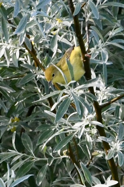
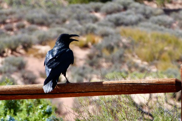
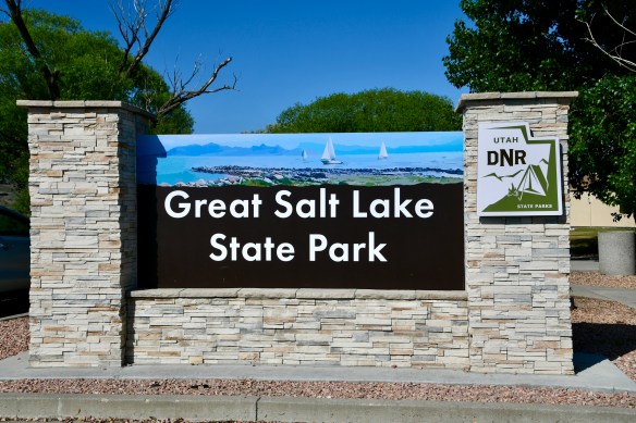
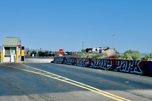
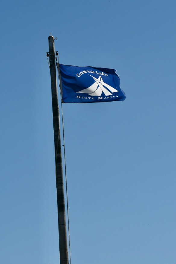
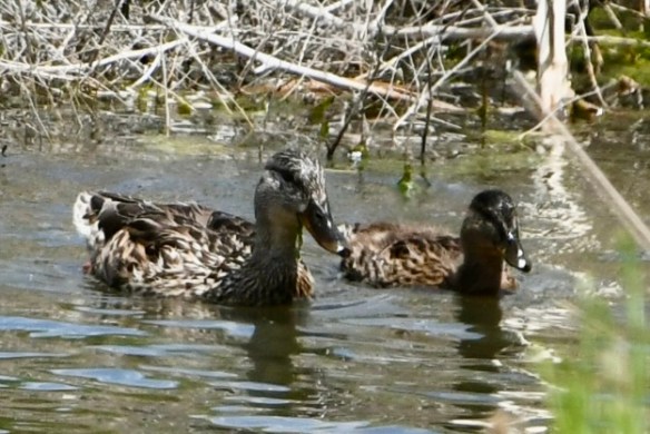
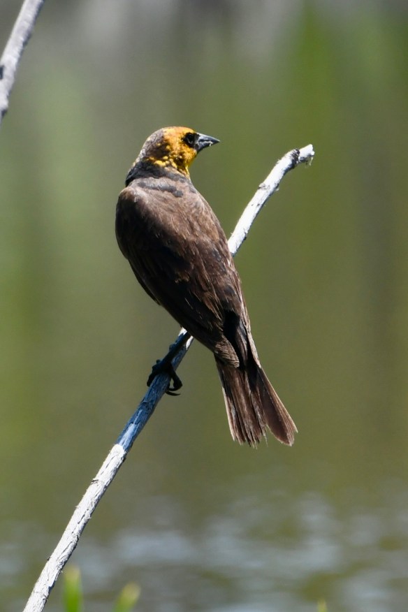
We stayed at a campground in Salt Lake City that night and headed for Great Salt Lake State Park the next day. We visited the southern shore of the lake, so I can’t speak to any other part of it. But it smelled a lot like a beach at low tide! It was there I learned that some blackbirds come with yellow heads! Who knew?! There were a lot of swallows flying around, too, but totally eluding my camera.


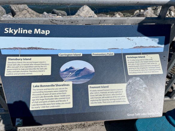

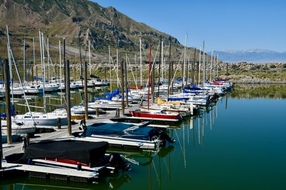
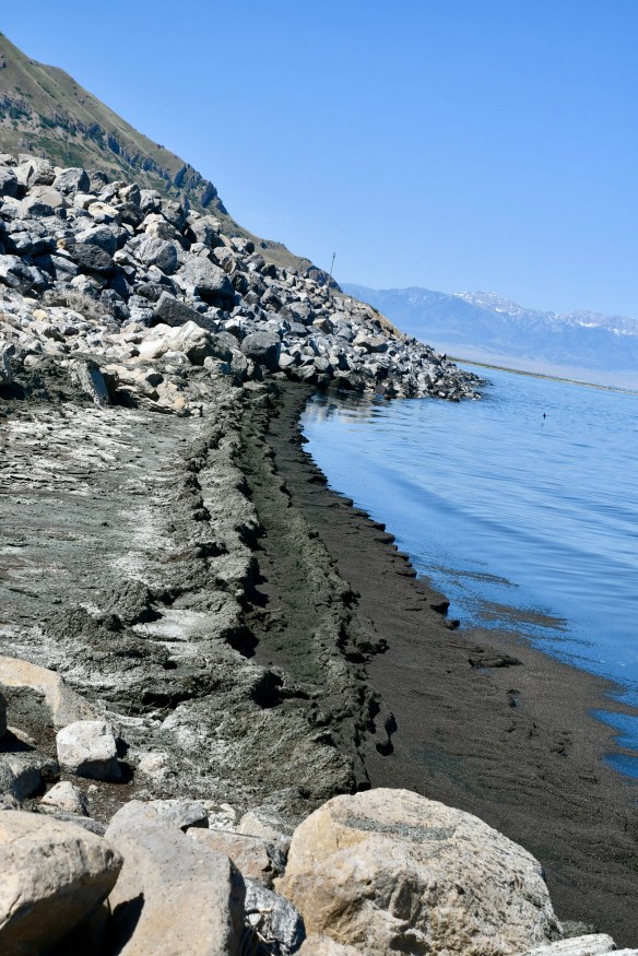

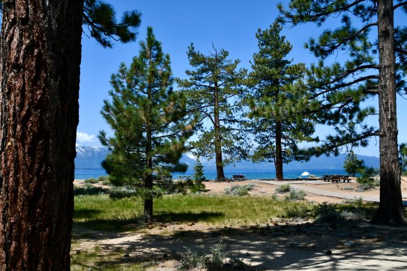
In one of the photos above, you can see a large island out in the lake. This is Antelope Island which is apparently inhabited by a variety of wildlife—including bison! I found that fascinating. Anyway, back on the salt-dusted shore there was a good-sized salt pile in one spot. I would’ve taken a picture of it, but didn’t feel like waiting for the woman who was using it as her own personal photo-shoot venue to finish up.
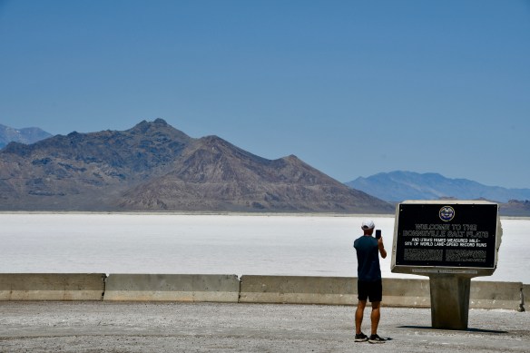
As we left the lake on the way to our next camping destination, we passed vast white fields. It looked like snow, but was actually more salt. The Bonneville Salt Flats. The whole area was once covered by a much larger lake—Lake Bonneville. But the Great Salt Lake is all that’s left of it, The salt flats also happen to be the site of world land-speed record runs. Interesting, but no, we decided against trying to set any records with our van. 🙂


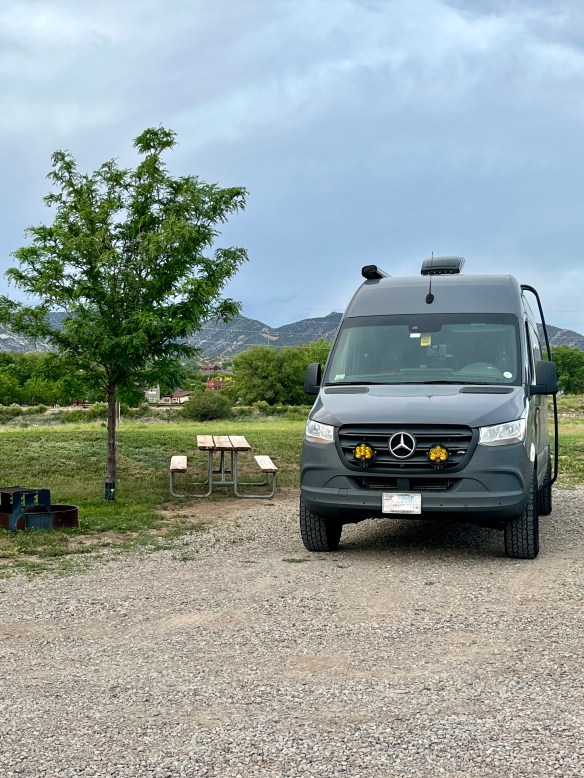
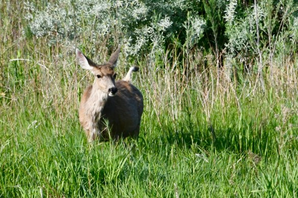
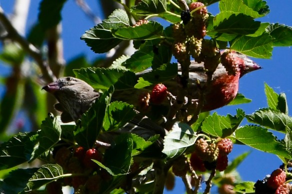
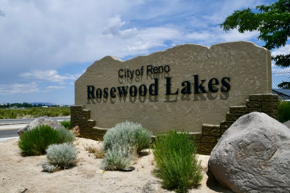
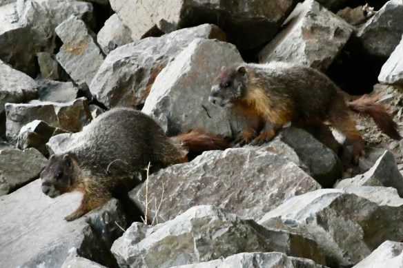
The following day, we broke up the long drive by stopping at Rosewood Nature Study Area in Reno, Nevada. The heat was mostly bearable and we enjoyed the area very much. Mark went for a run and I set out on the nature trail. I saw a pair of marmots and several different birds.


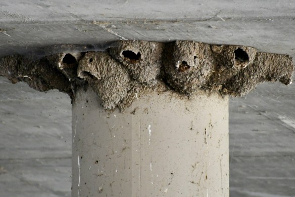


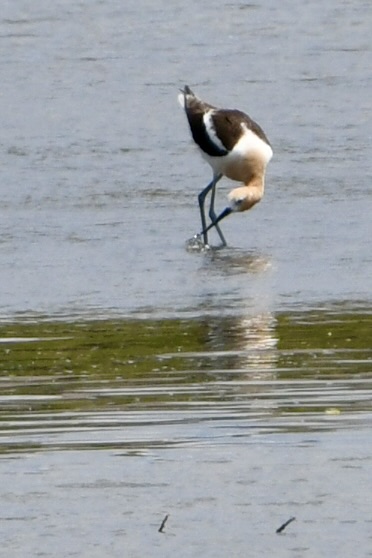
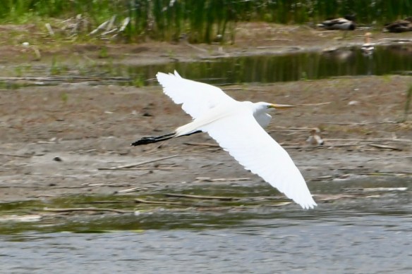
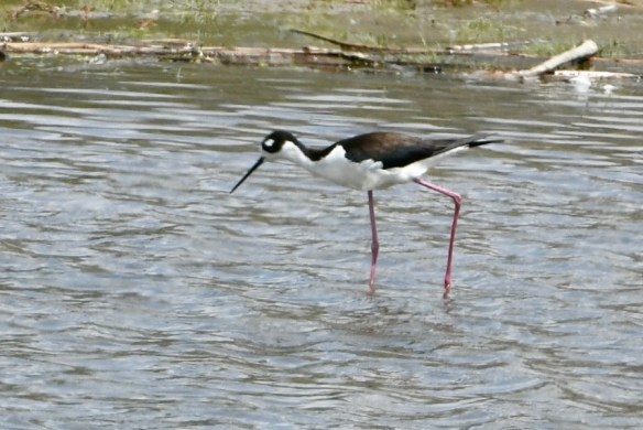
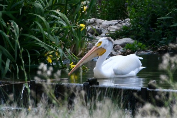
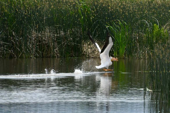
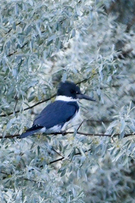
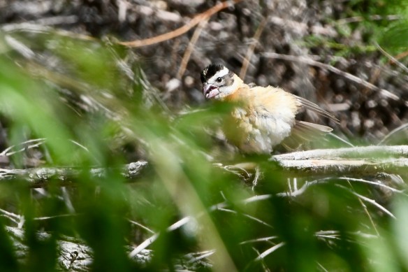
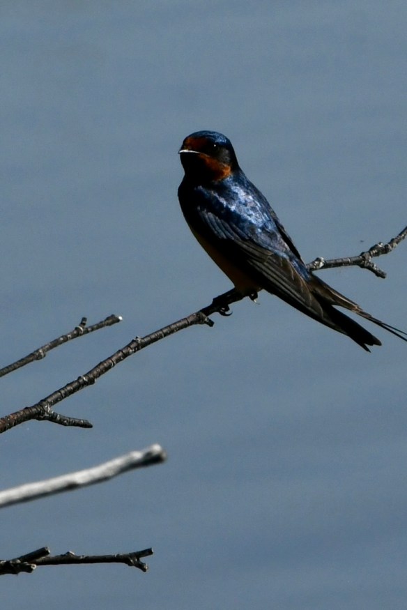
Although the pictures are a bit fuzzy, the bird with the long pink neck is an American Avocet and the black and white one with the long pink legs is a Black-necked Stilt. There are also two different large white birds pictured. The one with black legs is probably a Great Egret and the one with the bill that seems heavier than its entire head is, of course, an American White Pelican. We’ve also seen a half dozen different types of swallows on our trip. They’re impossible for me to photograph in flight, but every once in a while one will land. The one pictured above appears to be a Barn Swallow. There may have been a few Cliff Swallows flying around, too.
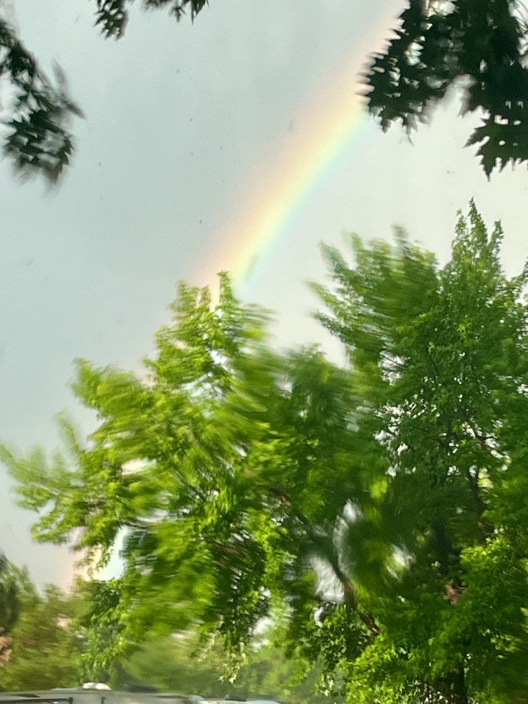
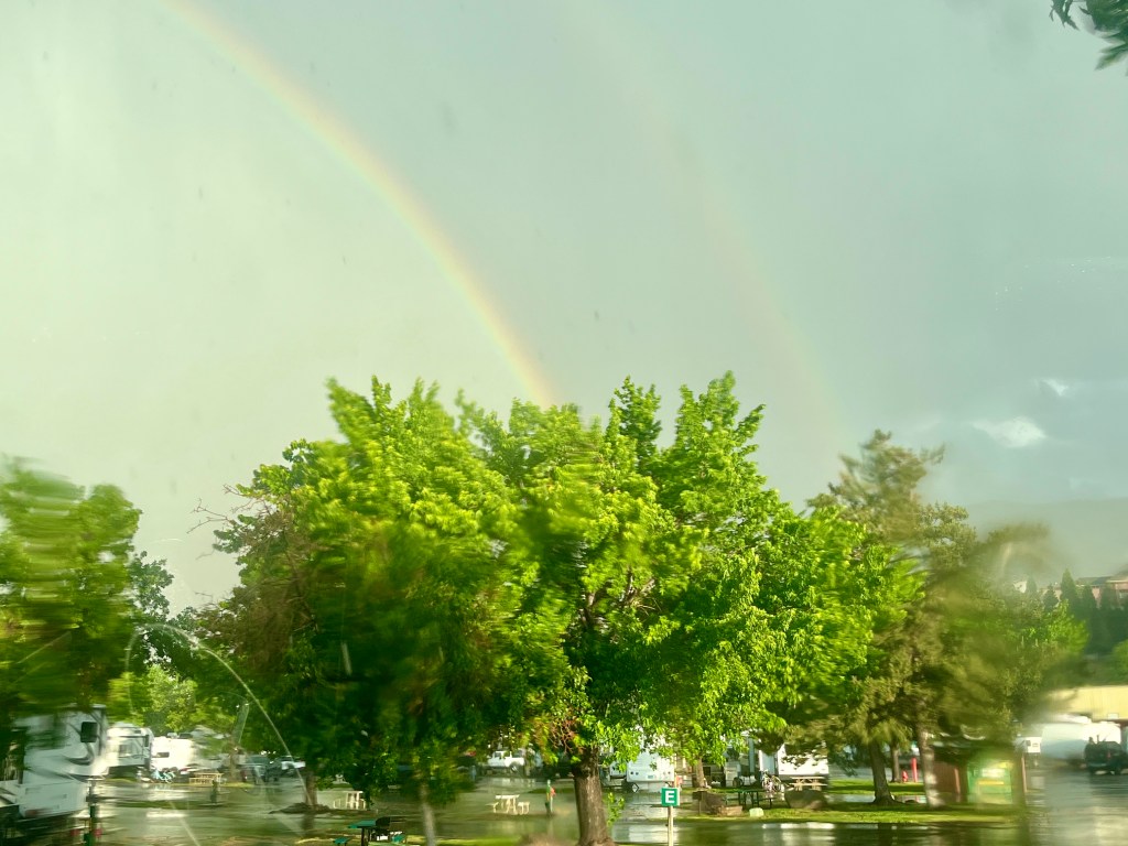
We stayed at a KOA campground near Reno that night. As we sat in our Yeti chairs under the awning, enjoying the breeze and the occasional raindrop, we didn’t realize what was about to happen. Thunder rumbled. Lightning split the sky. And the rain came down! Mark got soaked trying to get the awning safely stowed. Meanwhile rain swept into the van through the dropped screen at the sliding door. Frantically grabbing a stack of towels and rags, we started mopping the river of water spreading across the van floor. Thunder and lightning crashed and the campground’s power went out. What a mess! But, as they say, there’s always a rainbow after the storm. Even a double one sometimes.
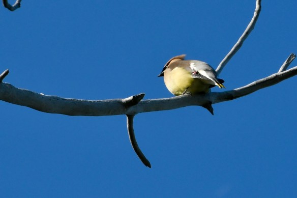
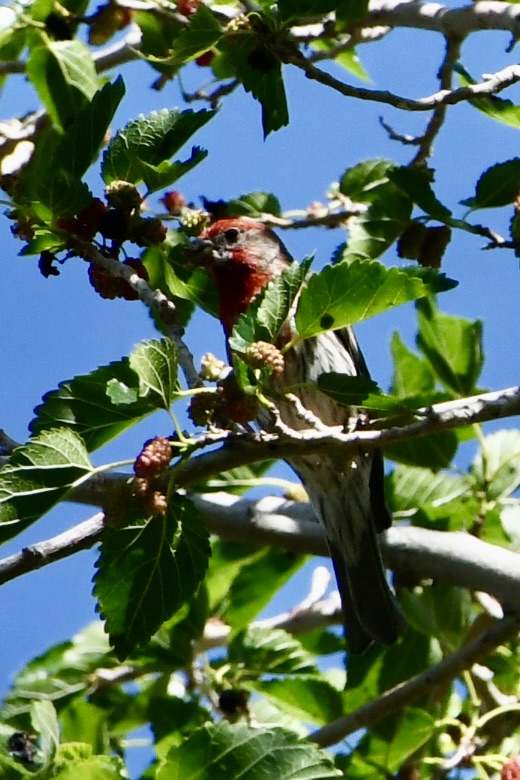
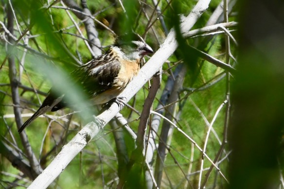
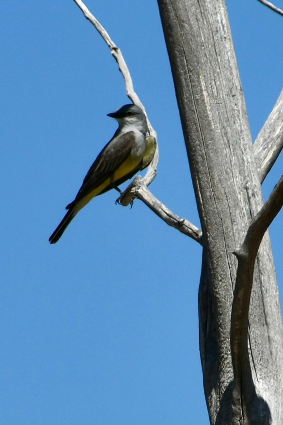
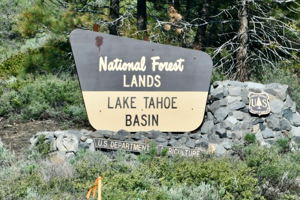
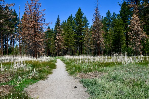
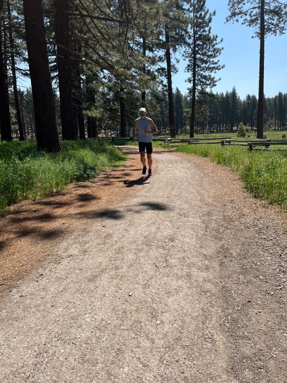
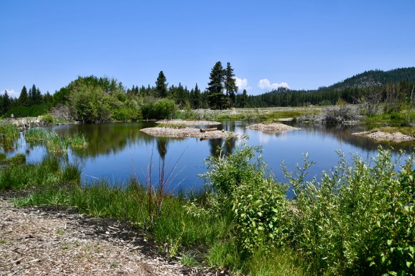
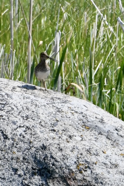
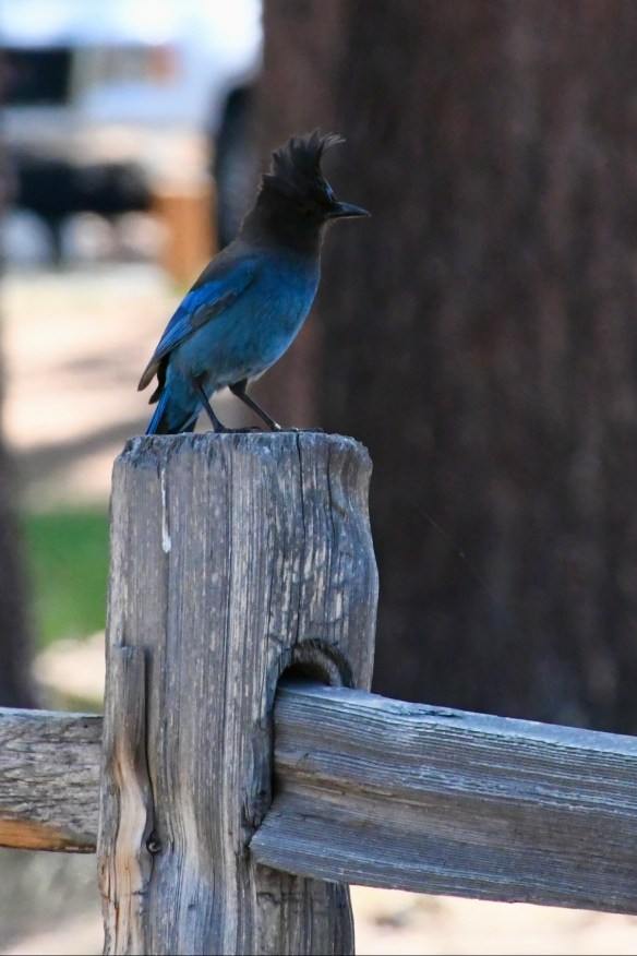
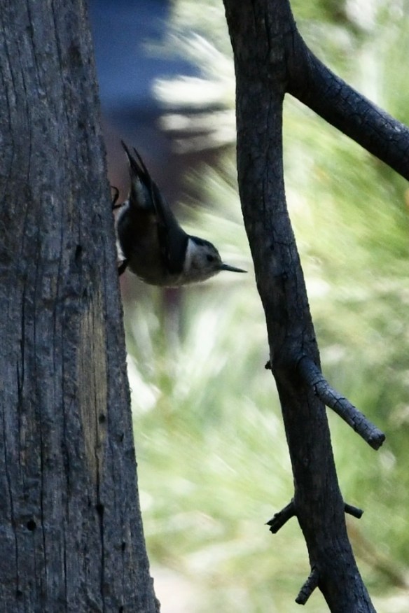
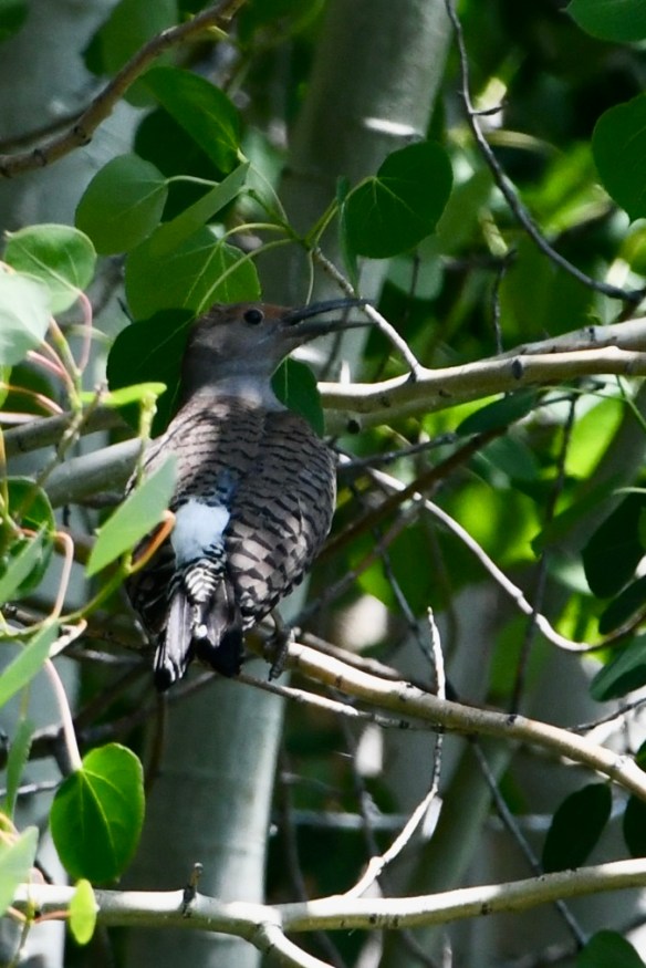
Our goal the following day was to catch a glimpse of Lake Tahoe while we were in Nevada. After searching for the closest access point while also looking for someplace to walk/run, we found the Lam Watah Historic Trail in Rabe Meadows. This lovely path led us right to the shore of beautiful blue Lake Tahoe. And again, I found more birds! Can you match the bird names to the photos? I saw a Barn Swallow, a Wilson’s Snipe, a Stellar’s Jay, a Red-breasted Sapsucker, a Western Wood-pewee, a Violet-green Swallow, a Red-shafted Northern Flicker, a Goldfinch, plus a few others.

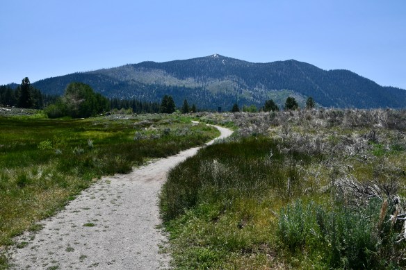


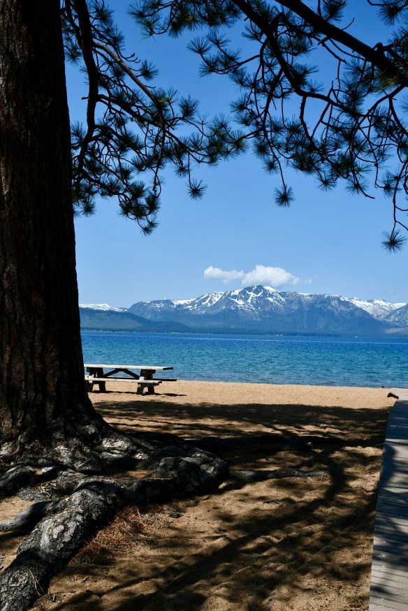

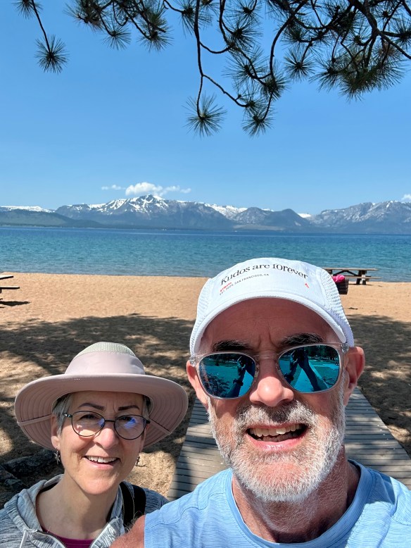
What a beautiful day we had walking along the trail in Stateline, Nevada. The next day, we crossed the border into California. Yay!
More adventures to come!
P.S. For those of you who’ve been following our trip, you know we’d been lugging around the bench seat that Titan Vans removed for us in Colorado. Well, I decided to post it on Craig’s List while we were in Salt Lake City. And we got a hit. Someone in Southern California was interested. More on that later…